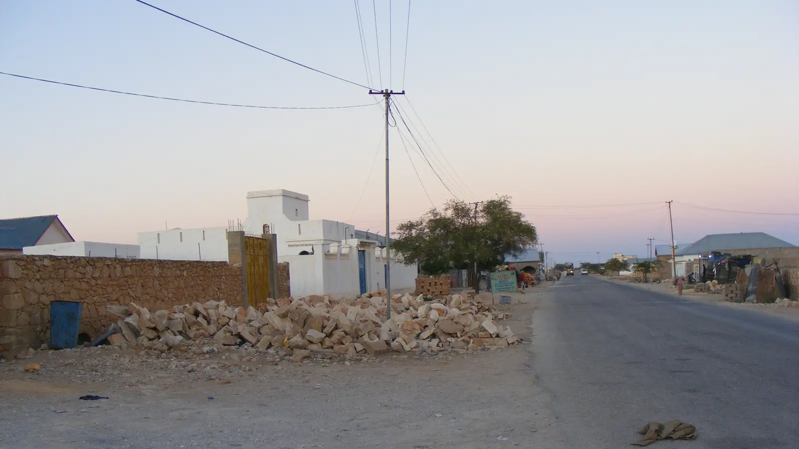

In brief
- Puntland Post reported on 29 April 2020 that some businesses near Qardho's watercourse had built annexes along the channel and that the area had become sought after by developers.
- The same report says the local government did not stop planning permits in an area it described as a natural watercourse for seasonal rain water, and that ten years of low rainfall had made the risk easy to miss.
- The report is planning commentary, not a survey, so an engineer can treat it as a reason to pull flood levels, culvert capacity and permit records before buying, building or extending near the tog.
Contents
Puntland Post reported on 29 April 2020 that business premises near Qardho's watercourse had built annexes along the channel, and that the land had become a sought after spot for developers. The report linked that building to the damage caused by rainfloods in the town that month.
What the source records
Puntland Post, writing on 29 April 2020, described Qardho as lying between two watercourses, with a second channel running through the town and a concrete channel on the Bosaso road. It said that before the town expanded, locals left the watercourse alone, and that the channel later became a neighbourhood holding houses, schools, parks, business premises and a market. The report states that some businesses near the watercourse built an annex along it, that the local government did not stop issuing planning permits in an area it called a natural watercourse, and that low rainfall over the previous ten years had made the risk easy to dismiss. Read the full account in Puntland Post.
What it means on site
An annex, wall or slab placed in a seasonal channel narrows the section that floodwater can pass through, so the same flow spreads wider and runs faster across neighbouring plots. For anyone buying, extending or insuring a plot near the tog, the practical checks are the ground level of the plot against the channel bed, the position of existing culverts and the bridge, and whether storm water has a clear route past the building. Treat published flood levels as a starting question rather than an answer; ask the municipal engineer's office what drainage records it holds.
What the source does not establish
The report is attributed local commentary, not an engineering audit. It does not give channel widths, flood levels, flow rates or the number of structures involved, and it does not name any owner or firm. It describes the situation as of 29 April 2020 and does not say what has happened since. A permit register, a survey of the channel, or a hydrology study would confirm the present state; the report does not settle whether any particular building caused the damage.
What to do next
Before buying, extending or rebuilding near the watercourse, request the plot's planning permit record and any drainage or flood study from the Qardho municipal engineer's office, then ask a surveyor to take ground levels at the channel and at the proposed floor slab.
Frequently asked questions
What exactly did Puntland Post report in April 2020?
It reported that business premises near Qardho's watercourse had built annexes along the channel, that the channel area had become a neighbourhood with houses, schools, parks and a market, and that the local government did not stop planning permits there despite describing the area as a natural watercourse.
Does the report prove that building along the channel caused the flood damage?
No. The report is planning commentary, not a hydrological or engineering audit, and it gives no flow, level or survey figures. It raises the question; a permit register, channel survey or drainage study would be needed to answer it.
Sources
Local reporting: this article is written for building work in Qardho and Puntland. Ground conditions, prices and rules differ between places; confirm the details for your own site.