
In brief
- Puntland Post reported on 29 April 2020 that houses, schools, parks and businesses stand on a natural watercourse in Qardho.
- The account is planning commentary, not an engineering audit, so it does not measure flow, levels or the extent of the occupied channel.
- Anyone testing a plot in or near the watercourse should ask the municipal office and the engineer for the drainage and permit record.
Contents
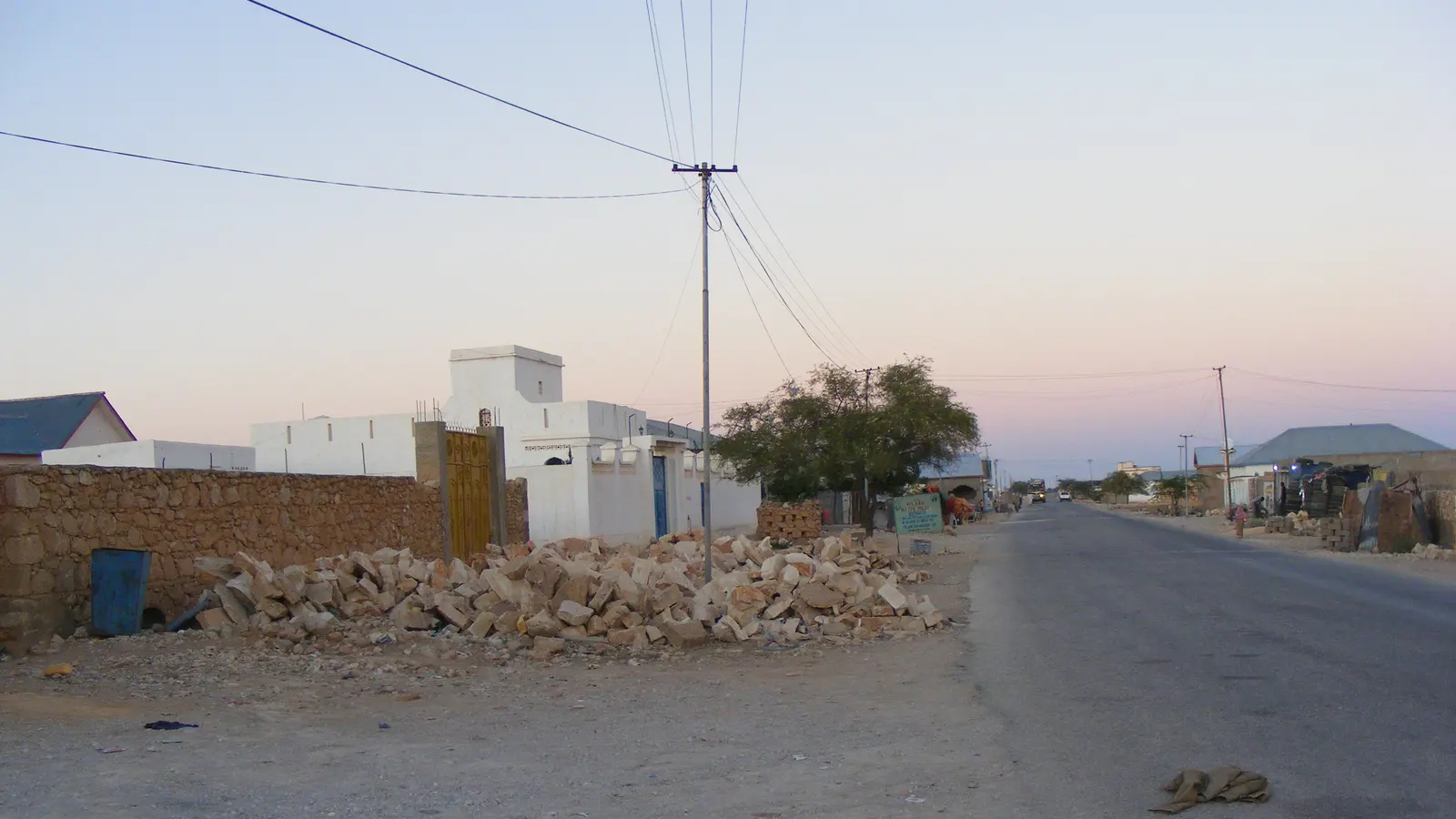
Puntland Post reported on 29 April 2020 that properties occupy a natural watercourse in Qardho. The account describes houses, schools, parks, business premises and a market built on the channel, and says floods that once ran along it are forced to split into two parts of the district. The paper attributes the impact to what it calls inadequate town planning.
What the source records
Puntland Post states that Qardho sits between two watercourses, called tog in Somali, with a bridge over one of them on the Garowe side. It reports that a concrete channel known as buundo jiif crosses the road to Bosaso and that vehicles wait for rainfloods to pass before driving on, as recorded in Puntland Post. The paper says Qardho has expanded since 1993, that developers sought the watercourse area, and that a run of low rainfall years left people unprepared for a heavy season.
What it means on site
For a builder, engineer or client in Qardho, the practical question is whether a plot lies inside a channel that carries seasonal water, and where that water goes when it arrives. A local drainage or flood line, where one exists, can be checked at the municipal engineer's office before buying, designing or extending. Buildings placed inside a channel can push flow into neighbouring streets, so an engineer can be asked to look at how a site sits relative to the channel and at what the paper calls the district-wide effect. Hold the source's limits in view: it describes a pattern, it does not measure flow.
What the source does not establish
The paper's account of permits and planning failures is an allegation about decision making, not an engineering audit. It gives no channel dimensions, no flood levels, no survey coordinates and no list of affected plots, and it draws no conclusion about any named owner, engineer or office. It does not report what the local administration said in reply, and it does not follow events past its 29 April 2020 date. Its own closing lines note that the planning and relocation response remained unclear. The record that would confirm the present state is the municipal file on plot permits and any drainage survey or flood study held for the town.
What to do next
Ask the Qardho municipal office, in writing, whether the plot falls inside a mapped watercourse and what drainage or flood record it holds for that area. Ask the project engineer to mark the channel and its flow path on the site drawing before work starts.
Frequently asked questions
Does this article say Qardho has no town plan?
No. Puntland Post reported on 29 April 2020 that planning permits were issued for an area described as a natural watercourse. That is a reported allegation, and the article does not establish what permit record exists for any specific plot.
Where can a builder in Qardho check whether a plot sits in a watercourse?
Ask the Qardho municipal office and the project engineer. Request the plot permit file, any drainage or flood survey held for the area, and a site drawing that marks the channel and its flow path.
Sources
Local reporting: this article is written for building work in Qardho and Puntland. Ground conditions, prices and rules differ between places; confirm the details for your own site.