
In brief
- Puntland Post reported on 29 April 2020 that Qardho sits between two watercourses: one crossed by a bridge that keeps water clear of the town, and a second that runs through it.
- The same account states that buildings, schools, business premises and the market now stand on the second watercourse, forcing floodwater to split and spread into other neighbourhoods.
- The report is attributed local commentary, not an engineering audit, so drainage capacity, invert levels and the municipal planning record still have to be requested.
Contents
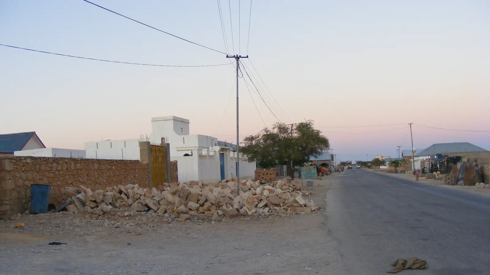
Puntland Post reported on 29 April 2020 that Qardho lies between two watercourses, locally called tog, and that only one of them is kept away from the town. The account describes a bridge on the Garowe side that carries floodwater clear of the district, and a second channel, lined in concrete and known as buundo jiif, that runs through Qardho on the Bosaso road.
What the source records
The report states that the distance between the bridge and Qardho safeguards the district from that watercourse, while the other one passes through the town. It says cars and lorries wait for rainfloods to run their course before resuming their journey along the Bosaso road. According to Puntland Post, houses, schools, parks, business premises and the market have been built on the second watercourse, and floodwater there is forced to split into two parts that reach neighbourhoods away from the channel.
What it means on site
The mechanism described is straightforward: a channel that once carried seasonal flow across open ground now meets buildings and walls, so the water goes around them rather than along the old line. For anyone planning a plot, the practical step is to establish where the tog line runs before setting levels or footings. Ask the municipal engineer's office for its town plan and any drainage drawings, and check whether the plot sits on a mapped watercourse. Where no drawings exist, a survey can mark old channel edges; the source does not record any such survey.
What the source does not establish
The account attributes the impact to planning permits and to ten years of low rainfall, but it is commentary, not an engineering audit. It gives no channel dimensions, flow figures, invert levels or hydraulic study, and it does not say which office issued any permit or when. It also does not establish the present condition of the channel or the neighbourhoods. A municipal planning response, the town plan and a hydrological assessment of the two watercourses would confirm what the record now shows.
What to do next
Before buying or building near either watercourse, request the town plan and drainage drawings from the Qardho municipal engineer's office, and ask which plots sit on a mapped tog line. Where none exist, commission a level survey of the plot against the channel.
Sources
Local reporting: this article is written for building work in Qardho and Puntland. Ground conditions, prices and rules differ between places; confirm the details for your own site.